For most of modern planning, coastlines were treated as fixed. They are not. The ocean has been creeping upward for more than a century as warming water expands and land ice melts, and the rate is now accelerating. The headline number that matters for planners is not a far-off peak but the near-term baseline: once the average tide sits a foot higher, every storm surge, every king tide and every rain-on-high-tide event starts from a taller platform. The ground has not moved; the water simply begins its work from a higher step.
What the 2022 NOAA report actually projects
The U.S. 2022 Sea Level Rise Technical Report, a multi-agency effort led by NOAA with NASA, the EPA, USGS and FEMA, is the clearest federal statement on the near term. It projects that sea level along U.S. coastlines will rise, on average, 10–12 inches (about 0.25–0.30 meters) between 2020 and 2050 — roughly as much as was measured over the previous hundred years (1920–2020). The rise is regional, not uniform: the Gulf Coast is projected to see 14–18 inches, the East Coast 10–14, and the West Coast 4–8. Critically, the report says that by 2050, "moderate" (typically damaging) flooding is expected to occur, on average, more than 10 times as often as it does today, shifting from a rare event every few years to multiple episodes each year in many places.
Why 2050 matters more than 2100
The end-of-century numbers grab headlines, but the 30-year window is where budgets are set. NOAA's global analysis notes that about 2 feet (0.6 m) of sea-level rise along the U.S. coastline is increasingly likely by 2100 from emissions already locked in, and that failing to curb future emissions could add a further 1.5–5 feet (0.5–1.5 m) — a total of 3.5–7 feet (1.1–2.1 m). Globally, even on the lowest-emissions pathway, mean sea level is expected to be at least about 1 foot (0.3 m) above 2000 levels by 2100, while higher-emissions pathways with rapid ice-sheet collapse push projections toward roughly 2 meters (6.6 feet). The practical point: the expensive, unavoidable part of adaptation has already started, and every fraction of a degree avoided only narrows the worst-case tail.
It is not just the sea — it is the systems behind the shore
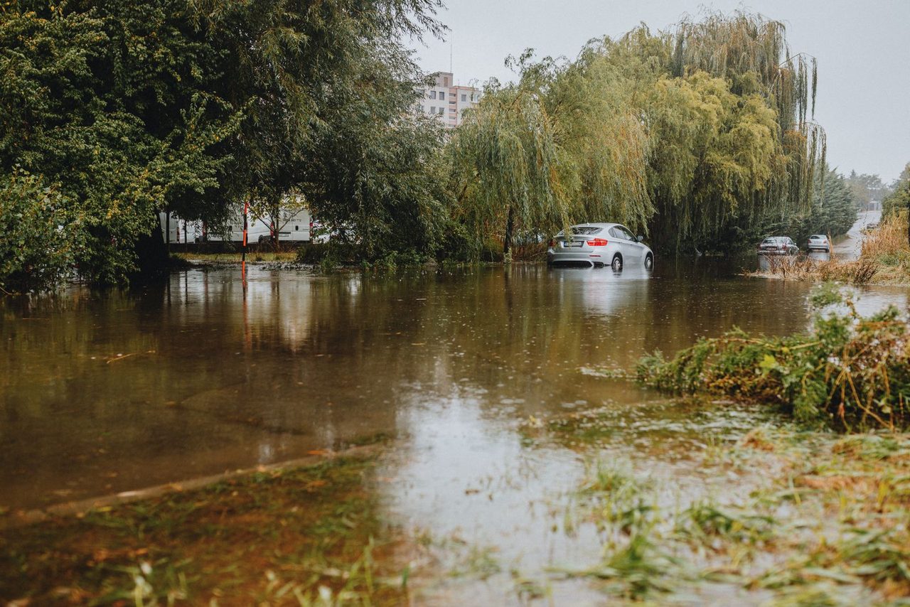
Rising water stresses things built for a calmer baseline: stormwater outfalls that no longer drain against a higher tide, septic systems that lose gravity flow, roads and railways whose low points flood first, and freshwater aquifers intruded by salt. A community does not need a hurricane to feel it; on sunny days, higher tides already bubble up through drains in low-lying neighbourhoods from Miami to Jakarta. The NOAA news release itself stresses that the rise "leads to increased coastal flooding, even in the absence of heavy rain or storms." That is why the issue belongs as much to public works and finance departments as to emergency managers.
What cities are actually doing
The adaptation playbook is now reasonably well defined, even if underfunded. A few examples show the range. Indonesia is relocating its capital from the sinking, subsidence-prone Jakarta to a new planned city, Nusantara, in East Kalimantan on Borneo — an extreme, whole-of-government response to a coastal megacity that is both flooding and dropping as groundwater is pumped out. The Netherlands, much of it below sea level, has moved from pure defence toward "Room for the River," giving rivers and floodplains space to spread rather than confining them, paired with the century-old Delta Works surge barriers. Venice operates the MOSE mobile barrier system to close the lagoon against high tides. Miami has invested in pump stations, raised roads and tighter building rules to cope with chronic tidal flooding. The common thread is a shift from "hold the line everywhere" to "decide deliberately what to defend, what to elevate, and what to retreat from."
The takeaway for planners and property owners
Three moves matter. First, plan on the 2050 baseline, not the 20th-century one — higher tides change every downstream calculation about drains, roads and insurance. Second, combine hard defences (where dense assets justify them) with softer measures like restored wetlands and dunes that are cheaper and more adaptable. Third, treat relocation as a real, if politically hard, option for the highest-risk slivers of coast. Sea-level rise is slow, but the compound cost of ignoring a foot of rise is not — it shows up first as nuisance flooding, then as repriced insurance, and finally as stranded assets.

Frequently asked questions
How much will sea levels rise by 2050?
Along U.S. coastlines, NOAA's 2022 technical report projects an average rise of 10–12 inches (about 0.25–0.30 m) between 2020 and 2050 — as much as the rise measured over the entire previous century. The increase is not uniform: the U.S. Gulf Coast is projected to see 14–18 inches, while the West Coast sees 4–8 inches. Globally, even on the lowest-emissions pathway, mean sea level is expected to be at least about 1 foot (0.3 m) above 2000 levels by 2100.
Is sea-level rise inevitable, or can cutting emissions still help?
The rise already locked in by warming to date is largely unavoidable this century, but the long-term range depends heavily on emissions. NOAA notes about 2 feet (0.6 m) of U.S. sea-level rise is increasingly likely by 2100 from emissions to date, while failing to curb future emissions could add a further 1.5–5 feet (0.5–1.5 m), for a total of 3.5–7 feet. Globally, higher-emissions pathways with rapid ice-sheet collapse push projections toward roughly 2 meters (6.6 feet) by 2100. Every fraction of a degree avoided narrows the worst-case tail.
What is managed retreat, and why is it controversial?
Managed retreat is the deliberate, planned relocation of people and assets out of the highest-risk coastal zone, rather than continually defending it. It is often the cheapest long-term option for places where defending land no longer makes economic sense, but it is politically difficult because it means moving homes, businesses and whole communities. It is usually paired with buyout programmes and land returned to wetlands or buffers.
Do sea walls and barriers solve the problem?
Hard defences like surge barriers and seawalls protect specific assets and are essential for dense cities, but they are expensive, need constant maintenance, and can worsen erosion elsewhere by blocking the natural sediment flows that sustain coastlines. They also do nothing for the chronic, everyday nuisance flooding caused by higher tides. Most resilient plans combine targeted defences with softer measures — dunes, marshes, oyster reefs and building upgrades.
What can a coastal homeowner do now?
Start by checking your real exposure, not just the FEMA flood shading — higher tidal baselines shift the whole map. Practical steps include elevating mechanical systems and utilities, improving drainage around the property, reviewing insurance coverage as premiums reprice climate risk, and supporting local measures like updated building codes and wetland restoration that protect the wider neighbourhood.
This page is an informational compilation. For reference only — please refer to each source's official documentation.
Images: Pexels (free license) · Photos by contributors on Pexels.
Privacy Policy · Contact